

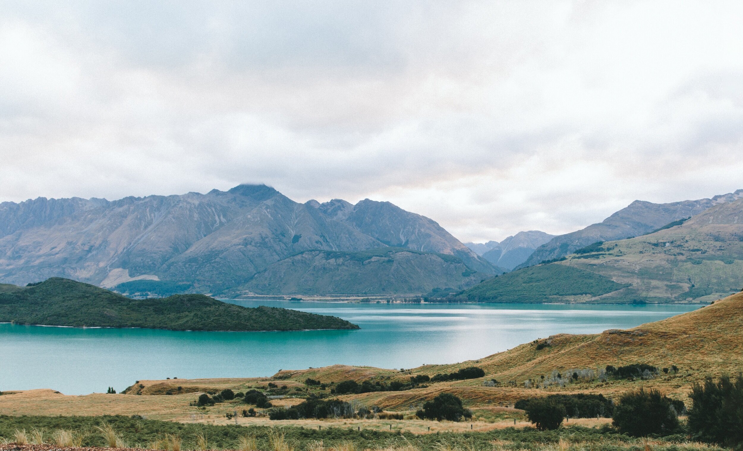
The largest network of high resolution satellite imagery.
Hassle-free access to high resolution satellite imagery from every major constellation in the world/ 200+ satellites.
Value Proposition
Finding the right satellite imagery is no longer time consuming or expensive
-

As low as 1$
Kawa Space offers transparent, flexible and affordable pricing. No more holes in your pockets for scenes you don’t even use.
-

Fast AF
Kawa Space has collated an imagery catalog suited to all kinds of use cases from multiple vendors so you don’t have to.
-

One API
Kawa Space’s API first approach allows users to access and integrate imagery pipelines seamlessly into their workflow.
Features
Solutions for industries
Our customers - from large enterprises to startups - use our products to make better, data driven decisions, streamline their operations and increase revenue.
-
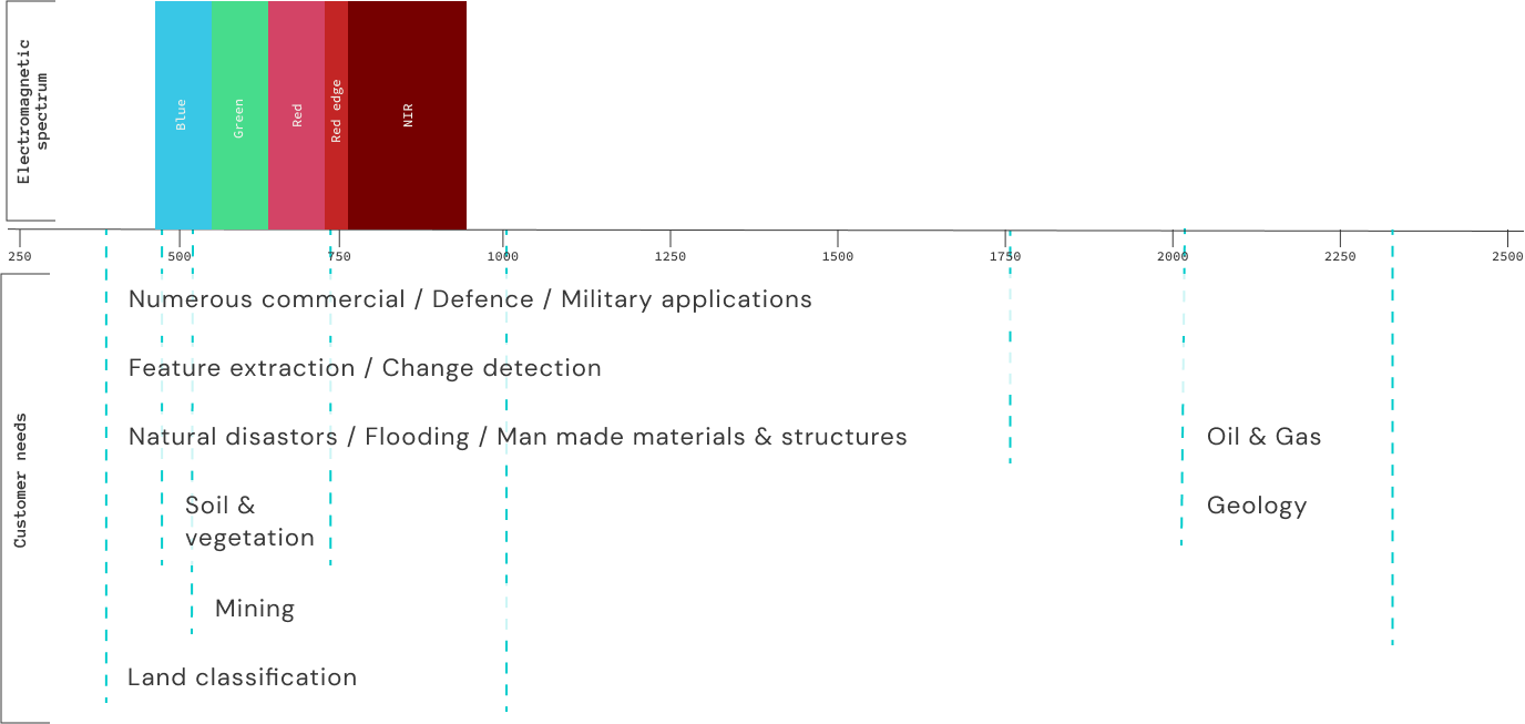
Multispectral
50cm - 5m
Works well for agricultural usecases and creating feature extraction models. Is also used for visual verifications.
450 - 700nm RGB
700 - 750nm RED EDGE
450 - 700nm NIR -
SAR
50cm - 5m
Works well for agricultural usecases and creating feature extraction models. Is also used for visual verifications.
450 - 700nm RGB
700 - 750nm RED EDGE
450 - 700nm NIR -
Hyperspectral
50cm - 5m
Works well for agricultural usecases and creating feature extraction models. Is also used for visual verifications.
450 - 700nm RGB
700 - 750nm RED EDGE
450 - 700nm NIR -
Thermal
50cm - 5m
Works well for agricultural usecases and creating feature extraction models. Is also used for visual verifications.
450 - 700nm RGB
700 - 750nm RED EDGE
450 - 700nm NIR
Moreover.
-
Upto 8 revisits per day
Each point on Earth captured at a frequency that allows for consistent data acquisition and monitoring.
-
Priority tasking
Immediate tasking for urgent capturing of AOIs for premium users. Skip the waiting period to task any satellite instantly.
-
Applied science support
Talk to our in-house team of geospatial experts to help you decode any location in a matter of minutes.
How it works
Not all pixels are created equal
Get acccess to high resoltuion imagery from multiple providers through a simple web dashboard without breaking a sweat.
Reach out to us
Have a large vision for your business?
Let's build the future over a cup of chai. Hit us up to discuss satellite intelligence for your business, the future of the space industry, life on Mars, etc.